
DEATH VALLEY — Park officials at Death Valley this week announced that 60 additional miles of backcountry roads in the southern end of the national park are now open.
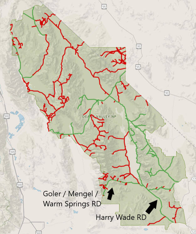
As stated in a Dec. 12, news release, Public Information Officer Abby Wines said Warm Springs Road is fully open where visitors with high clearance 4×4 vehicles can drive over Mengel Pass between Death Valley and Panamint Valley.
“Warm Spring Canyon Gold and Talc Mining Historic District, along with Butte Valley, and Barker Ranch are points of interest along the way,” Wines’ release stated. “West Side Road remains closed just north of the junction with Warm Springs Road. Harry Wade Road is a 4×4 route that connects Badwater Road to CA-127 on the park’s southeastern corner.”
Additionally, the National Park Service has only completed interim repairs on the road.
Extended sections of the road are a single lane between deep sandy berms, with limited opportunities to pass oncoming vehicles.
All 1,400 miles of roads within Death Valley National Park were damaged by the remnants of Hurricane Hilary on August 20.
The NPS, Federal Highway Administration, Caltrans, and Inyo County continue their work to repair the park’s roads.
At 3,422,024 acres, Death Valley is the largest U.S. national park outside of Alaska, as nearly 1,000 miles of paved and dirt roads provide access to locations both popular and remote.
Ninety-three percent of the park is protected as officially designated wilderness.
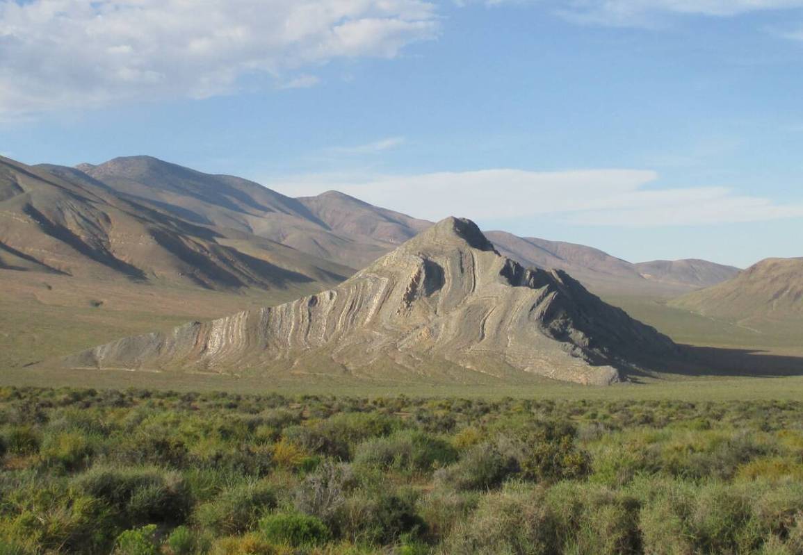
Wild country areas include low valley floors crusted with barren salt flats, rugged mountains rising as much as 11,000 feet, deep with winding canyons, rolling sand dunes, and spring-fed retreats.
More information on the park’s current travel status can be found at nps.gov/deva.
Contact reporter Selwyn Harris at sharris@pvtimes.com, or on X, formerly known as Twitter: @pvtimes