
As Thanksgiving neared, National Weather Service meteorologists were tracking the path of what they called “an unusually cold and potent storm for late November” — a storm full of mountain snow.
“Heavy snow possible,” the weather service said a statement. “Total snow accumulations of 8 to 24 inches possible. Winds could gust as high as 40 mph.”
The weather system prompted a winter storm watch for a region that included the Sheep Range, Spring Mountains and Red Rock Canyon.
The storm was expected to begin late Tuesday and extend into late Friday for a widespread region.
“This storm could have major impacts on Thanksgiving travel on Highway 93 and other routes in Lincoln County, as well as Highways 156, 157, and 158 in the Spring Mountains,” the weather service said. “If possible, consider alternate routes or adjusting your planned travel time.”
In Pahrump, the forecast called for rain and snow. Less than a half-inch of fresh snow was projected at three separate times: today (Nov. 27), tonight and Thanksgiving Day. Snow also was in the forecast through Friday with no significant amounts projected for Pahrump.
Colder conditions are accompanying the storm. Daytime highs are forecast to be in the lower 40s and nighttime lows in the 20s in Pahrump.
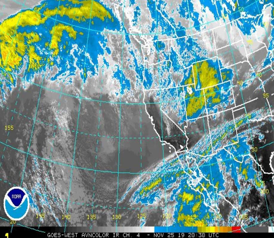
“Improving weather is likely for much of the region through the weekend, although snow could persist in the Sierra,” the weather service said in its forecast discussion.
Ahead of the storm, a high wind warning was issued Monday for Pahrump and multiple regional communities, including Beatty, Goldfield, Silver Peak, Dyer, Pahrump, Indian Springs, Desert Rock, Amargosa Valley, Furnace Creek, Stovepipe Wells, Shoshone and Baker.
“Gusty winds could blow around unsecured objects,” the weather service said. “Tree limbs could be blown down and a few power outages may result.”
Elsewhere in the region, just a week after a surprise snowstorm dumped up to 6 inches in the town of Tonopah, forecasters were watching another weather system that was poised to bring more moisture to the area.
A winter storm watch was issued to start this week as a weather system was making its way to the region in time for Thanksgiving.
The affected area included northwestern Nye County/northeastern Nye County, including Tonopah, Round Mountain and Duckwater through late Wednesday night.
“Heavy snow possible,” the National Weather Service said in a statement. “Valley snow accumulations of 5 to 10 inches possible, with 10 to 20 inches in the mountains and over the higher elevation summits. Southerly winds of 10 to 20 mph gusting up to 35 mph.”
Similar weather was projected for the historic Goldfield community in Esmeralda County.
“Heavy snow possible,” the weather service said in a separate statement. “Total snow accumulations of 6 to 12 inches possible. Winds could gust as high as 40 mph.”
The storm was projected to continue in Esmeralda and central Nye counties through late Thanksgiving night.
“This storm could have major impacts on Thanksgiving travel along Highway 95 and Highway 6,” the weather service said. “If possible, consider alternate routes or adjusting your planned travel time.”