A large portion of Esmeralda County and western Nye County were pounded with “numerous” thunderstorms earlier this week.
The stream of precipitation also brought a flood warning by the National Weather Service for both areas.
At roughly 2 p.m. on Oct. 2, the weather service in Las Vegas issued a flash flood warning for Esmeralda County and western Nye County. The warning was set to expire at 5 p.m., according to weather service officials who spoke with a reporter just after the alert was issued.
Additional alerts were sent out about 7:30 p.m. by the weather service in Las Vegas for an area west of Shoshone and south of Death Valley Junction. The weather service sent an alert for a flash flood warning in that area and stated there was heavy rainfall in the area in a post on its Twitter page.
Severe weather was also forecast by the weather service in Las Vegas for the Pahrump area, along with other areas including Death Valley, Beatty, Caliente and into parts of Arizona and other areas, excluding Las Vegas. A warning was sent out on Wednesday for those areas that isolated to scattered thunderstorms were possible in those areas for most of the day and into the evening.
Those storms were projected to be moving quickly to the north-northeast, but redevelopment could lead to flash flooding, the warning on social media stated. The warning also stated that the affected areas could see wind gusts 60 mph or higher with possible large hail, both of which were expected to hit Wednesday evening and late night.
Alex Boothe, a meteorologist with the weather service in Las Vegas, said the recent storm systems and those potentially moving into the area were not due to the remnants of Tropical Storm Rosa that have hit other parts of the Southwest with heavy rains in early October, including Phoenix.
According to Boothe, it was more of a “typical fall weather system.”
Boothe said on Wednesday that there is a chance of showers over the weekend in the Pahrump area, and lower temperatures will be moving in.
Today’s high is set to be 80 degrees with a low of 55, according to the weather service’s website on Wednesday. As of Wednesday, the weather service was projecting Saturday’s high to be 77 degrees and a low of 54. On Sunday, the temperature was set to fall to 73 degrees for the high.
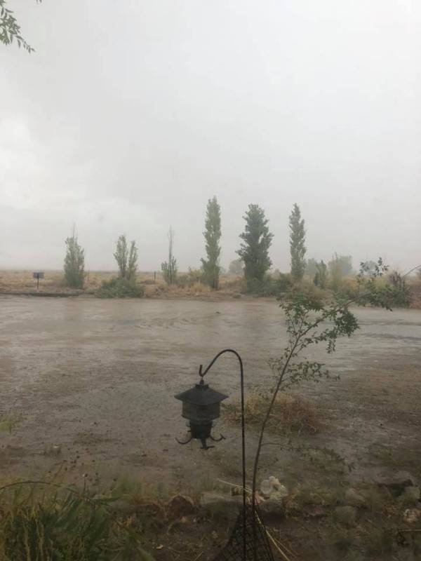
A witness to the storms in the Esmeralda County area, Ken Aldrich, said heavy rains started to move in about noon.
Just following the flood alert from the weather service, the Esmeralda County Sheriff’s Office issued a warning about areas to watch. Problem areas in the sheriff’s office warning included heavy rain and debris along Highway 773. The same warning was also issued for Highway 264 between mileposts 16 and 18 and between mileposts 23 and 24, according to the sheriff’s office.
The Esmeralda County Sheriff’s Office also reported that three feet of water was laying over a road referred to as “Hot Ditch Road.” Subsequently, the road had been closed.
Silver Peak was also receiving heavy rain, according to an afternoon report by the sheriff’s office.
The weather service stated that several areas were expected to experience flooding: Dyer, Coaldale, Silver Peak, Fish Lake Valley Campground and the junction at California Highway 266 and Nevada Highway 264, Boundary Peak and Montgomery Peak.
A flash flood warning was also issued by the weather service’s offices in Elko on Oct. 2, where several areas were expected to experience flooding, including Tonopah, Manhattan and the Tonopah Airport.
The weather service added a reminder that “in hilly terrain there are hundreds of low water crossings, which are potentially dangerous in heavy rain. Do not attempt to cross flooded roads. Find an alternate route.”
The Nevada Department of Transportation was called to assist in the flooded area.
“The latest update is that crews are working the area now with all roadways open and passable,” NDOT spokesman Tony Illia said via email. “Although we are keeping an eye on it,” he added.
Updates were planned if the status changed.
Contact reporter Jeffrey Meehan at jmeehan@pvtimes.com