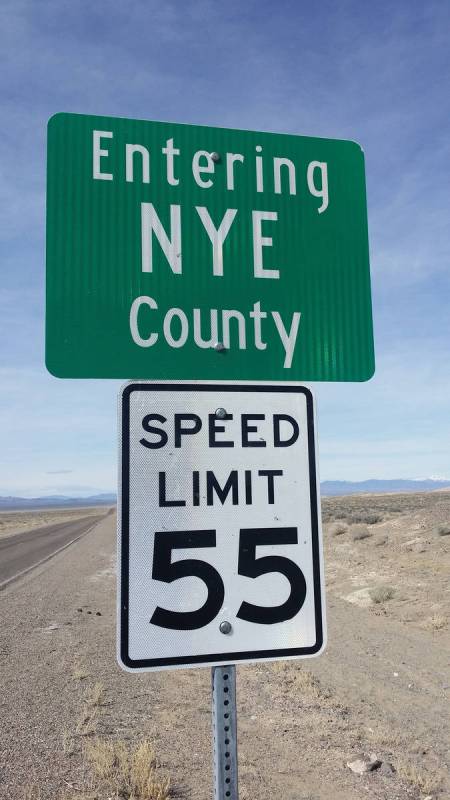
New Placer Dome Gold Corp. announced the results of the recently completed rock grab sampling program at its Troy Canyon Gold-Silver Property located in Nye County approximately 90 miles east of Tonopah.
The 2020 Troy Canyon Project surface rock grab sampling represents the company’s first opportunity to independently verify significant reported historic gold and silver values within the project, which had previously reported underground stope rock grab samples assaying 576 g/t gold and greater than 100 g/t silver1.
A total of 59 surface and underground rock grab samples were collected at the Troy Canyon Project during the program. Sampling was designed to follow up on significant untested gold in soil geochemical anomalies present throughout the property.
The project found 42.7 grams-per-ton gold and 91 g/t silver in an outcrop of partially oxidized silica-sulphide breccia at the historic Locke West and East Mine prospects, 37.7 g/t gold in oxidized quartz vein material sampled from historic waste dumps at the Locke East Mine and significant gold and silver along the western Troy Canyon claims along the historic Leadhill and Galena vein trends.
“Our technical team successfully returned a number of compelling high-grade gold and silver samples in support of historical samples and demonstrated the potential of the project,” CEO Max Sali said. “In addition, our ongoing reverse circulation and diamond drill campaigns at our flagship Kinsley Mountain gold project and the Bolo gold project continue to move forward on budget with multiple holes being completed weekly and we look forward to sharing these results with the market in the very near future.”
The Troy Canyon Gold-Silver Project is located in the Grant Range of eastern Nye County. The project consists of 59 contiguous unpatented mineral claims that cover 493 hectares of land centered approximately on the historical Locke gold mine.
The Troy Gold-Silver Project has seen limited modern exploration effort and was a former small-scale producer. Gold mineralization was first identified at the project in 1867, and small-scale mining commenced in 1869. The most recent mining took place from 1948 to 1950, when 643 ounces of gold and 660 ounces of silver were reportedly produced from 1,859 tons of mineralized rock.
The area of the old Locke Mine in Troy Canyon hosts mesothermal gold and silver mineralization with potential for economically significant concentrations. Mesothermal systems typically are persistent to great depths. The system seen on the Troy Canyon Project has only been investigated over a vertical extent of approximately 180 metres, with the bulk of the work having been concentrated on the hanging wall of the quartz host.
Assessments of the project by multiple companies from the late 1980s to early 2000s include sampling of surface and underground quartz exposures, mine dumps, mineral processing facilities and tailings piles. In 2004, Miranda Gold Corp. determined that stopes were developed on multiple “stacked” north-trending, moderately east-dipping veins.
In 2007, Portage Minerals Inc. completed a multi-parameter exploration program on the project. The soil geochemical program identified several zones of anomalous gold outbound of the mine and a strong northwest trending IP anomaly in the southeast part of the survey area.
Gold mineralization is associated with grey, late-stage vuggy, sugary limonitic quartz and minor sphalerite, galena and arsenopyrite, and a strong gold-bismuth correlation suggests that mineralization is part of an intrusive-related mesothermal gold vein system.
Compiled data for the Troy Canyon Project reference only one exploration drill-hole which apparently was terminated in mineralized limestone before reaching the vein.