Less than a week after Thanksgiving storms dumped snow in portions of Nye County, another weather system was headed for the region.
“December is expected to start off 8-10 degrees below-average temperatures,” the National Weather Service said in a social media post. “Temps will gradually rise through the week as rain chances re-enter the forecast as another potential rainmaker sets up.”
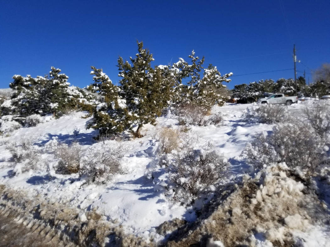
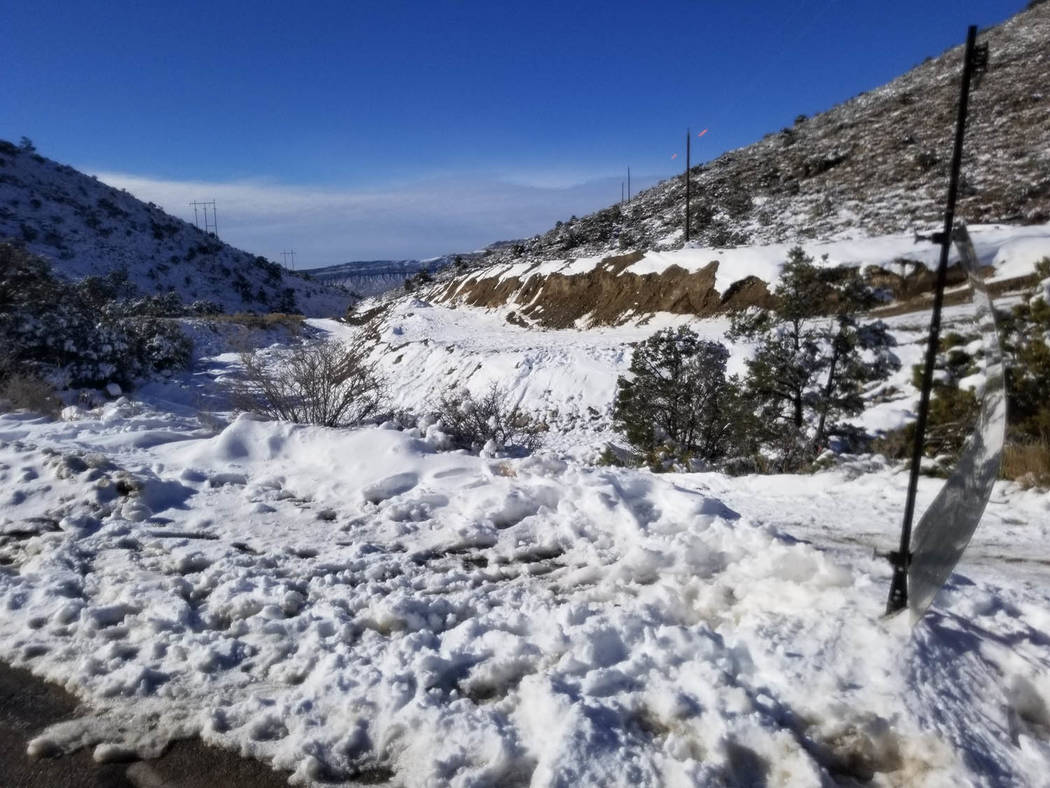
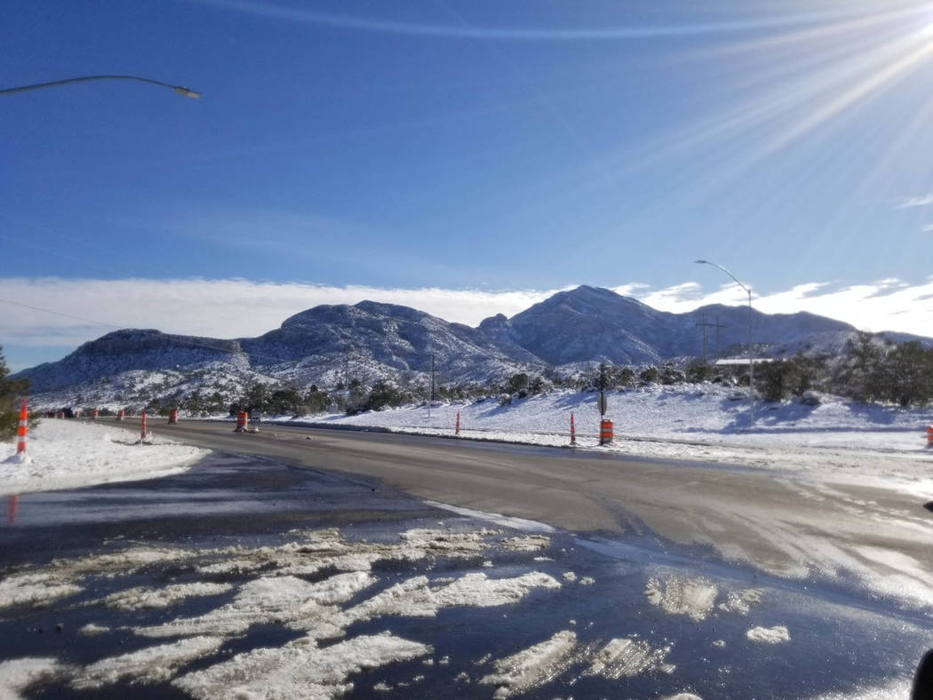
The Thanksgiving storm, which prompted chain and snow tire requirements on mountain highways, left 4 inches of snow at Mountain Springs in Clark County between Las Vegas and Pahrump.
Mount Charleston received 21.1 inches, according to the weather service’s snow totals.
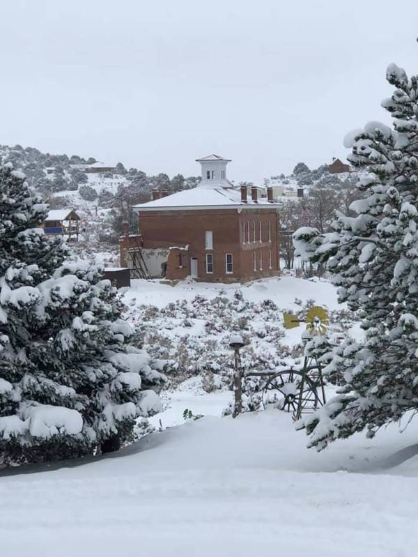
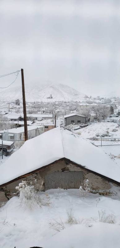
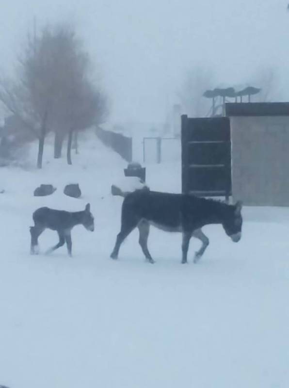
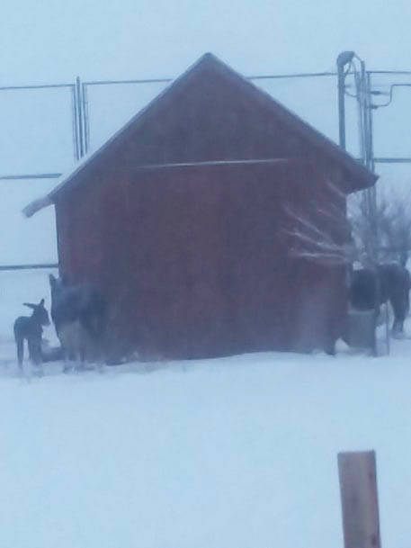
Elsewhere in the broader region, several inches of snow also fell in Tonopah, Round Mountain and historic Goldfield in neighboring Esmeralda County.
The storm was a cold one, too.
“A new record low was set at Tonopah Airport,” the weather service announced on Facebook on Nov. 30. “A record low of 3 was set today. This breaks the previous record of 7 set in 2006.”
Weather service experts tracked the storms as they moved through Nevada.
“The good news is everything is done,” said Greg Barnhart, a meteorologist, in a post-Thanksgiving interview.
Two separate storms the week of Nov. 26 resulted in an estimated 8 inches of snowfall in the Tonopah region.
“Snow compacts melts over time,” Barnhart said. “So what they have on the ground right now about 5 inches.”
Specific snowfall totals for Goldfield were not immediately known. But reader Teresa Doreen reported that it had “been snowing for three days” there.
Storms in the Pahrump region on Thanksgiving were warmer, leaving 0.77 inches of rain in the community.
Las Vegas received 0.36 inches.
Another major storm had moved through portions of Nye County on Nov. 20-21, closing schools in Tonopah for one day.
“It would be unusual for this amount,” Barnhart said of snow in Tonopah for November. “And probably unusual to see three systems come through and dump this amount of snow. Not rare but unusual.”
Snow fell all around Pahrump in the mountains and upper elevations.
“As far as Pahrump, it didn’t sound like they had a whole lot,” meteorologist Ashley Wolf said. “The issues with Pahrump were more going from Pahrump to Mountain Springs.”
Snow fell on grassy surfaces, too.
“I know we were expecting pretty significant snow from Beatty points north,” Wolf said. “That is where we had a lot of the warnings and everything out.”
Away from the mountains, snow fell, “a little bit of snow south of that like Amargosa Valley into Desert Rock and north of Pahrump, especially on grassy the surfaces,” Wolf said.
“The ground is still a little bit warm to get accumulating snow because it melts on contact but there could still be a dusting on the area’s vegetation,” she said.
The experts were watching another weather system this week. Its impact had yet to be known at the week’s start.
In its forecast discussion this week for Pahrump, the weather service said that moist Pacific low was poised to move inland today “bringing another round of widespread rain and mountain snow to the region.”
“This will be followed by another storm system Friday and Saturday bringing gusty and unsettled conditions,” the forecasters projected.