Google Maps didn’t update the Tonopah Test Range for over eight years, according to the report published by Motherboard.
After discovering the gap in mapping, Engineer Dhruv Mehrotra and Brendan Byrne leased the swatch of satellite imagery of two dry lake beds from the company Apollo Mapping for $1,984.50, according to report published by LiveScience.
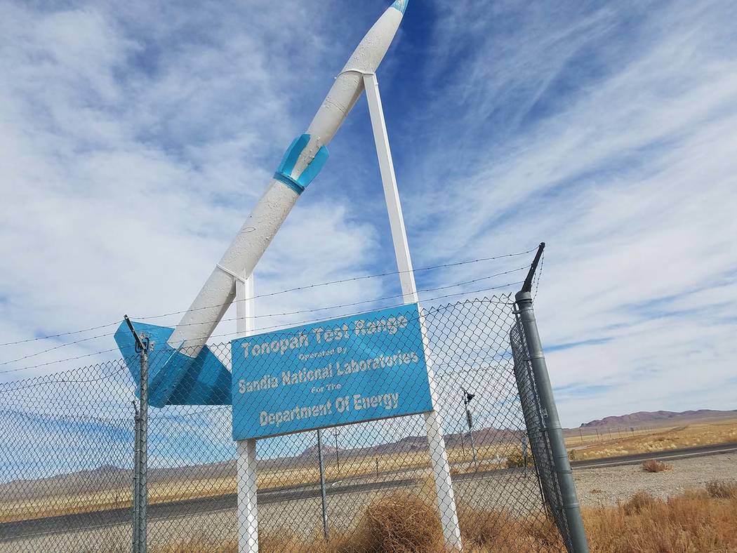
This occurred after noticing that Google Maps hadn’t updated an area over the Tonopah Test Range in southwestern Nevada for eight years, according to LiveScience.
The original story was published by Motherboard detailing how from 2008 through 2016, Google Earth didn’t update the satellite image of a military installation.
“We were able to identify at least eight images (from 2009, 2011, 2013, and 2014) which would have fulfilled Google Earth’s apparent needs (i.e. color, decent coverage, high-resolution, no cloud cover). This does not, of course, prove that the federal government did not engage in any censorship of images of the dry lake beds in Tonopah. It merely proves that there was a substantial set of images Google Earth could have used to fill its gap,” the statement published by Motherboard said.
When Mehrotra and Byrne found out that they could purchase the rights to the satellite image themselves, they bought it in an attempt to push Google into completing its dataset, according to the information posted on Eyebeam’s website.
The purchase came with a set of restrictions within layers of legalese, which prompted an exploration into the phrase that kept appearing: “For Internal Use Only,” which meant that the images could be viewed only by the employees of Eyebeam.
Mehrotra and Byrne have commissioned a series of abstracted paintings of the satellite image by an L.A.-based artist Sebastian Gladstone to answer a series of questions, according to Motherboard.
On Oct. 25 the pair hosted an event called “Internal Use Only” in Brooklyn, New York because they were unable to share the image online due to the contract they signed with Apollo Mapping. The attendees of the event had to sign a contract which made them 24-hour contractors at EyeBeam, according to its website.
At the event in Brooklyn, the pair said that it’s unclear whether the government requested Google to omit the images, according to Business Insider, whose reporter was present at the event.
Recently, Google added images of the area from 2014 and 2015, which reduced the gap of missing photos to 2006-2013, Motherboard said.
Tonopah Test Range is a subsection of the Nellis Test and Training Range, operated by the U.S. Department of Energy and Air Force. Since the early 1950s, the Nellis Range has been the site of extensive government aerospace and weapons testing. Many dry lake beds on the site were historically used for aerial target practice, according to Motherboard.
In August 2017, the Department of Energy announced that its National Nuclear Security Administration and U.S. Air Force completed two qualification flight tests of B61-12 gravity bombs at Tonopah Test Range in Nevada, according to the press release.
The non-nuclear test assemblies, which were dropped from an F-15E based at Nellis Air Force Base, evaluated the weapon’s non-nuclear functions and the aircraft’s capability to deliver the weapon, according to the press release.
The tests are part of a series over the next three years to qualify the B61-12 for service. The first qualification flight test occurred in March 2017, the release said.
While the U.S. has many similar experimental facilities around the country, none of the others have had such a long stretch of time without an update, according to the report published by Motherboard.
According to the Google Earth Blog, a volunteer-run website not affiliated with Google Earth or Alphabet, Gooogle conducted updates once about once every 60 days, on average.
Google started gathering imagery around 2012. Instead of following state boundaries, it gathers imagery in what appears to be a random pattern.
“Analyzing the data from 2012 onwards, we believe Google is covering the whole country roughly every three years. There is just one little area in Nevada that seems to have been missed,” the post says.
Google didn’t return requests for comment.