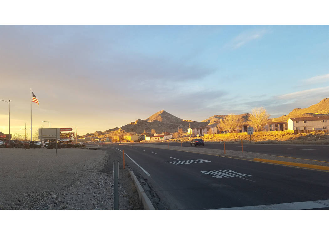
The start of daylight saving time brought some record warmth to the Tonopah area, breaking at least one high temperature reading and tying another for the dates.
Tonopah reached 75 on March 15, breaking the record of 74 set on that date in 1994. The previous day, the high reached 74, tying the mark for the date also set in 1994.
“That it broke a record is significant for this time of year,” Jeremy Michael, a meteorologist at the National Weather Service said.
“It hasn’t been this warm in Tonopah since 1994 on these dates,” he said. “That’s pretty significant. It’s been quite a long time since we’ve seen it this warm. It doesn’t mean it can’t happen, at least for these particular days.”
The warm conditions were attributed to a ridge of high pressure.
“It dries the air out and usually it’s sunny,” Michael said. “It allows for warm temperatures to move into the Great Basin.”
Strong winds were recorded in the Reno region, including projections of 80 mph gusts in the Sierra, but they did not reach Tonopah.
“That ridge of high pressure also acts as a blocking mechanism,” Michael said. “It shunted all of that precipitation and a storm, and it has it aimed going up into the Pacific Northwest…”
“Storms can go south of it,” he said of the high pressure system’s blocking effect. “But in this case, a lot of the storms are moving up into the Pacific Northwest, which kind of gives us a break.”
Behind the warm conditions was cooler weather setting in this week, though nothing like the consistent cold that arrived with a Thanksgiving weekend snowstorm.
“It’s possible,” Michael said of snow returning to town this month. “But right now, I’d say low chance or low confidence. Right now, there’s pretty good confidence that at least the mountains will pick up some more snow into (this) week.”
“But it’s going to be really tricky with the snow (elevation) levels, especially moving into March it becomes a lot more tricky,” he said.
Spring officially arrived in Tonopah on March 20.
“With the eight-to-14-day outlook, about a week-and-a-half to two weeks, there is an increased chance of below average temperatures for Tonopah and above average precipitation,” Michael said.
“Heading into weeks three and four, which would start to get into April, it looks like across the entire West, there’s a pretty good chance of above average temperatures and below average precipitation,” he said.
The reason is hard to say, Michael said, citing information from the federal Climate Prediction Center.
“My guess would be if we’re looking at above average temperatures and below average precipitation, there’s probably going to be another significant ridge of high pressure that will build in,” Michael said. “That will (block) all of the precipitation up into to the Pacific Northwest.”
Runoff, caution
With the warmer temperatures, the snow in higher elevations is melting.
“We have been telling people to be careful if you are (near) any of the streams or creeks that could be coming out of the higher terrain,” Michael said. “In some of the higher mountains, the streams could be running kind of high. Right around the streams could be some very minor flooding, but nothing significant.”
“It’s just something we want to let people know,” he said. “If you’re going into the backcountry or (in recreation) to be careful.”
The weather service is monitoring stream gauges.
“We don’t have a whole lot in northern Nye, but we have some in White Pine, Eureka and Lander (counties), which paints a pretty good picture of the mountains in Central Nevada,” Michael said.
“They are all coming up,” he said. “There are noticeable increases with the snow melt. They are all flowing higher or above normal and a little more swift. That is why we tell people it is a good idea to be very careful along any mountain streams.”
Contact reporter David Jacobs at djacobs@tonopahtimes.com