The National Aeronautics and Space Administration (NASA) has requested the Secretary of Interior to withdraw 22,684 acres of Bureau of Land Management (BLM) in northern Nye County for use on satellite calibration activities.
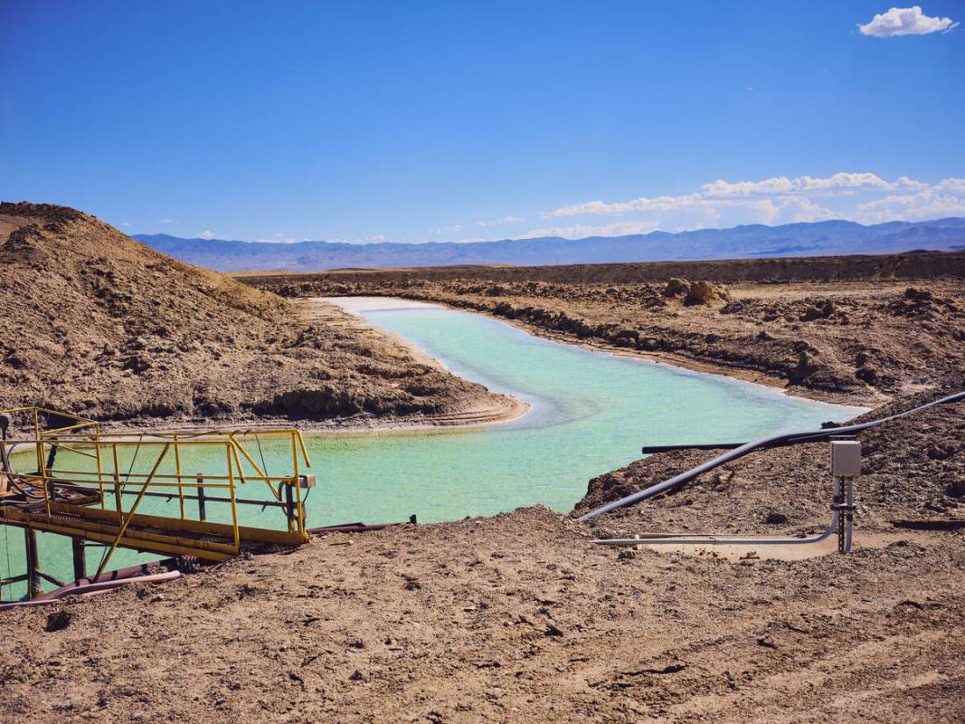
The land consists of 36,640-acre sections about 80 miles northeast of Tonopah near Railroad Valley.
NASA has drafted an Environmental Assessment that has analyzed the environmental impacts, with association of: biological resources, geology, soils, mineral resources, water resources, socioeconomics and land use.
If approved, the withdrawal would prohibit mining, mining leasing and geothermal leasing laws on the land for 20 years.
This is subject to valid existing rights to preserve the integrity of the land surface in the withdrawal area for use in NASA’s Earth-observing satellite calibration activities.
The EA says that there would be no significant impacts to any resources as there would be no changes to the current activities on the site. This would allow the BLM to continue managing it.
Public comment on the plan will be taken through July 24 by email to the headquarters of NASA at HQ-NASA-RRV-Environmental-Assessment@mail.nasa.gov or by mail to NASA Environmental Engineering and Occupational Health Office/AS10, ATTN: Amy Keith, Building 4249, Marshall Space Flight Center, Huntsville, AL 35812.
The draft will be available online at https://www.nasa.gov/emd/nepa-public-reviews on June 22.
Contact Jimmy Romo at jromo@reviewjournal.com. Follow @jimi_writes on Twitter.