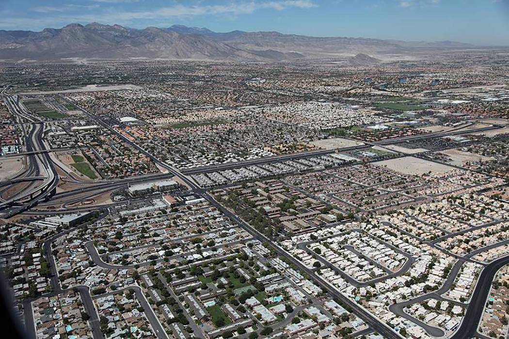
NDOT transfers roadways in Southern Nevada
The Nevada Department of Transportation (NDOT), after nearly three years of talks and negotiations, has transferred the following roads for operation and maintenance, permitting and enforcement effective Jan. 1, 2019 and July 1, 2019 for Clark County and the city of Las Vegas, respectively, NDOT announced this week.
The actual right-of-way transfer will occur over the next 12 to 18 months. During this time, however, all transfer rights still apply per written agreement, NDOT said.
The transfers include:
From the state of Nevada to Clark County:
Nevada Highway 159
■ Charleston Avenue, south half from the east right-of-way of the 215 Beltway to approximately 500 west of Hualapai Way (Las Vegas city limit)
Nevada Highway 589
■ Sahara Avenue, south half from the east right-of-way line of Rainbow Boulevard to City of Las Vegas limits east of Decatur Boulevard; and,
■ Sahara Avenue, south half from the east right-of-way line of south Bridge Street to west right-of-way line of Boulder Highway; and,
■ Sahara Avenue, full width from the east right-of-way line of Boulder Highway to west right-of-way line of Nellis Avenue.
Nevada Highway 594
■ Russell Avenue, full width from the east right-of-way line of Polaris Avenue to the west right-of-way line of Las Vegas Boulevard
Nevada Highway 593
■ Tropicana Avenue, full width from the east right-of-way line of Las Vegas Boulevard to west right-of-way line of Maryland Avenue.
Nevada Highway 596
■ Jones Avenue, full width from the north right-of-way line of Tropicana Avenue to the south right-of-way line of Sahara Avenue.
From Clark County to the state of Nevada:
I-215 Beltway
■ From Warm Springs Road to the bridge deck east edge at Pecos Lane will be transferred upon the completion of a county project to add lanes in each direction along the 215 Beltway in this area. The state will take over operation and maintenance upon project completion of later this year.
■ From Pecos Road to Stephanie Street (current start of I-215).
From the state of Nevada to the city of Las Vegas:
Nevada Highway 159
■ Charleston Avenue, north half from the east right-of-way of 215 Beltway to approximately 500 feet west of Hualapai Way (Las Vegas city limit). Then, the full right-of-way from this point to the western edge of the Martin Luther King Boulevard bridge deck at Interstate 15.
■ Charleston Avenue, full width from west of the right-of-way line of Commerce Avenue to center extension of 15th Avenue, including the intersection of Fremont Street /Boulder Highway / Charleston Boulevard.
Nevada Highway 582
■ Fremont Street, full width from the beginning of the state-maintained portion at 8th Street to Charleston Boulevard.
Nevada Highway 589
■ Sahara Avenue, north half from the east right-of-way line of Rainbow Boulevard to the city of Las Vegas limits east of Decatur Boulevard. Then, the full width from city limit to the west right-of-way line of Rancho Drive. Note: the south side of Sahara Avenue at Rancho Drive will remain under state control for approximately 500 feet west due to Interstate 15 “control of access issues.”
From the city of Las Vegas to the state of Nevada
■ Summerlin Parkway, 215 Beltway to Tenaya Way (the current start of the state highway without U.S. Highway 95).


