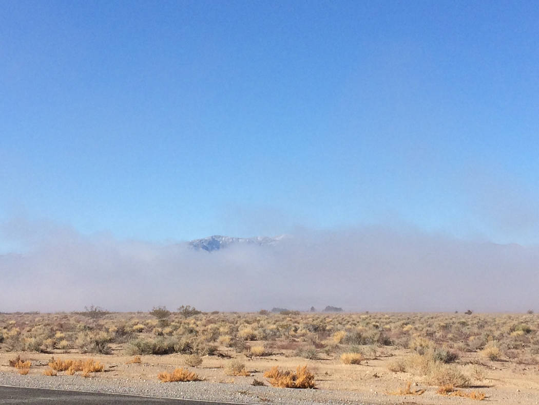
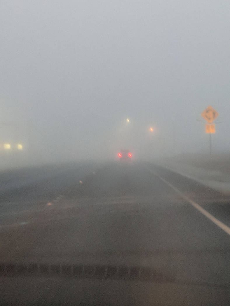
Round 2 brings snow, fog to Pahrump region
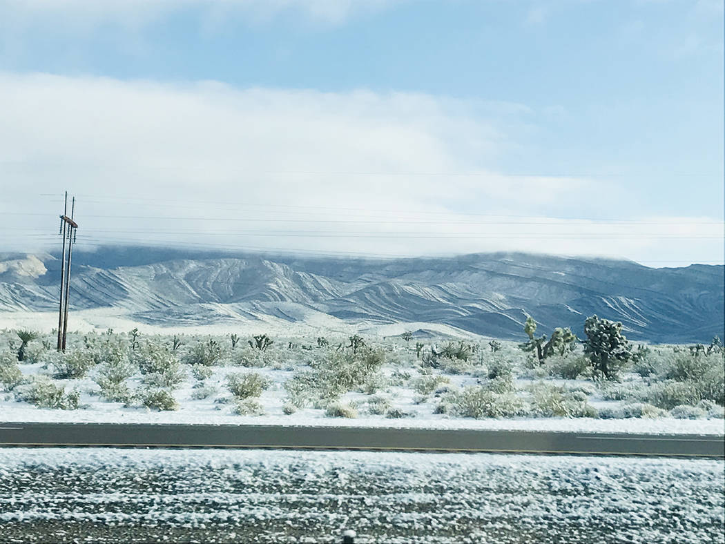
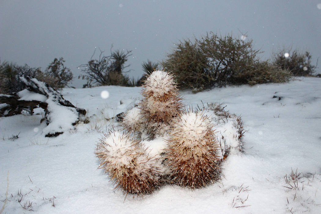
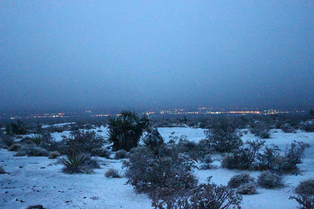
The second winter storm in four days powered through the region, leaving snow in the upper elevations, bringing sleet to Pahrump, and later fog.
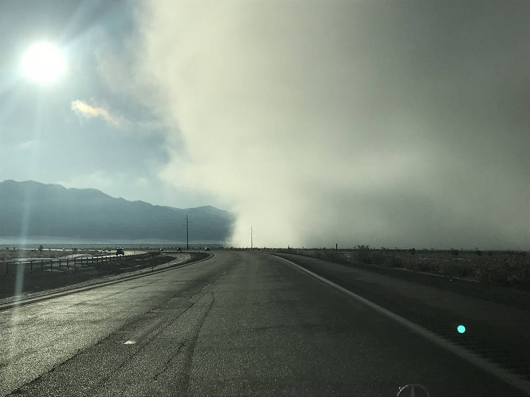
The storm on Tuesday made driving challenging, including along Nevada Highway 160 connecting Pahrump and the Las Vegas area.
Lee Canyon received 5 inches of snow while 3 inches was reported in the Mount Charleston area, the National Weather Service reported.
“We were somewhat surprised that the storm came over the Mountain Springs,” NDOT spokesman Tony Illia said via email. “As such, maintenance crew members were called back into work.”
Two truck-mounted hydraulic snow plows operated uninterrupted along Highway 160 during the afternoon, into the night and until morning, Illia said of the storm that started Tuesday.
Roughly 5 cubic yards of a de-icing agent known as “Ice Slicer” was applied to roadways during a 12-hour period, he said.
Ice Slicer is an all-natural, high-performance de-icer containing 90 percent sodium chloride that debonds ice from the road surface 65 percent more effectively than standard white salt, and melts up to double the snow and ice after one hour, he said.
It is also 40 percent less corrosive than standard white salt, with fewer particulates, thereby reducing air quality issues, he added.
“In total, there were about five maintenance staff that worked continuously to ensure safe and clear roadways,” Illia said.
The storm left heavier amounts of snow in northern Nye County.
At least 6 inches of snow was measured eight miles northwest of Round Mountain. Manhattan received 5 inches, Gabbs 4.5 inches, Carvers 3 inches and the Tonopah area 2.4 inches.
“The big winners were down in Central Nevada, especially along the U.S. 50 corridor,” the weather service said in a Facebook post on Tuesday night.
Blustery day
Another weather system was headed to the region today.
Strong winds were forecast, prompting a high wind warning for a widespread area, including Pahrump, the Spring Mountains, Amargosa Valley, Red Rock Canyon, Beatty, Goldfield and other communities. Gusts to 65 mph were forecast.
The warning was set from midnight Thursday until 4 a.m. Saturday.
Elsewhere in Nevada, a winter storm warning is in place through 7 p.m. Saturday for a region that includes northwestern Nye County and northeastern Nye County and the communities of Tonopah and Round Mountain.
Total snow accumulations of 6 to 9 inches were possible with localized amounts of up to 25 inches possible, the weather service said.
“Winds gusting as high as 45 mph will cause patchy blowing and drifting snow,” the weather service said in a statement.
“Plan on difficult travel conditions, including during the morning commute on Friday,” the forecasters said. “Tree branches could fall as well.”
Sierra blizzard
In the Sierra Nevada, a blizzard warning was in place from 8 a.m. Thursday to 4 a.m. today for what was being called the biggest storm of 2018 for that region. Up to 5 feet of snow was forecast in the Sierra above 7,000 feet with 1 to 3 feet below 7,000 feet, including the Lake Tahoe basin.
“Be prepared for significant reductions in visibility down to near zero at times, especially in higher elevations,” the weather service said.
“This is a life-threatening situation. Do not attempt to travel!” the warning also stated.
In addition, a backcountry avalanche warning was in place for the greater Lake Tahoe area.”Very dangerous avalanche conditions,” the warning stated. “… Avalanches may run long distances and can run into mature forests, valley floors or flat terrain.”
The storms followed others in the region Feb. 23 as part of the coldest spell of the season in much of Nevada.
Red Rock Canyon saw about an inch or two of snow from a Feb. 23 storm, and Mount Charleston likely received a similar amount, the National Weather Service said.
About 2 or 3 inches of snow fell at Lee Canyon while the Pahrump area received some snow flurries that day.
More snow arrived in the region on Tuesday, including along Nevada Highway 160 at Mountain Springs.
Contact reporter David Jacobs at djacobs@pvtimes.com. On Twitter: @pvtimes


