
FEMA releases public notice for Nye County flood mitigation project




The U.S. Department of Homeland Security’s Federal Emergency Management Agency (FEMA) has released an initial public notice for a critical systems flood mitigation project in Nye County.
FEMA intends to provide federal financial assistance through the Hazard Mitigation Grant Program to the county for the construction of a new floodwall and culvert, alongside drainage and erosion control measures to protect county government office facilities in Pahrump, according to the notice.
The project notice states that it aims to mitigate flood impacts around government offices by redirecting floodwaters into culverts and drainage channels away from the Nye County Courts Complex, Information Technology Building, Sheriff’s Office Complex and Nye County Assessor’s, Recorder’s and Treasurer’s offices.
Components of the proposed project are laid out in the notice and consist of:
■ Installing an 1,102-foot-long concrete floodwall made of rebar, concrete and grout with a drainage system that would collect and divert stormwater
■ Removing ancillary infrastructure, including 46 feet of sidewalk and curb located south of the property’s north driveway, and a current pedestrian footbridge over an existing drainage channel
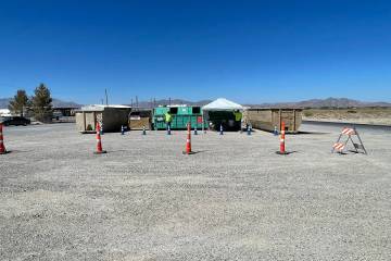
■ Replacing a current cinderblock dumpster enclosure situated along the zone of the proposed floodwall, with a close-by new enclosure that would not interfere with the proposed floodwall
■ Constructing a 24-by-48-foot concrete culvert over an existing drainage channel that would bolster the floodwall, redirect stormwater and also function as a vehicle driveway
For more information about the FEMA project in Pahrump, including maps that display potential impacts on floodplains and wetlands, contact fema-rix-ehp-documents@fema.dhs.gov or write to the FEMA Region 9 environmental officer at FEMA, 1111 Broadway, Suite 1200, Oakland, California 94607.
To read the full FEMA notice visit the News Flash tab at nyecountynv.gov.
Contact reporter Elijah Dulay at edulay@pvtimes.com
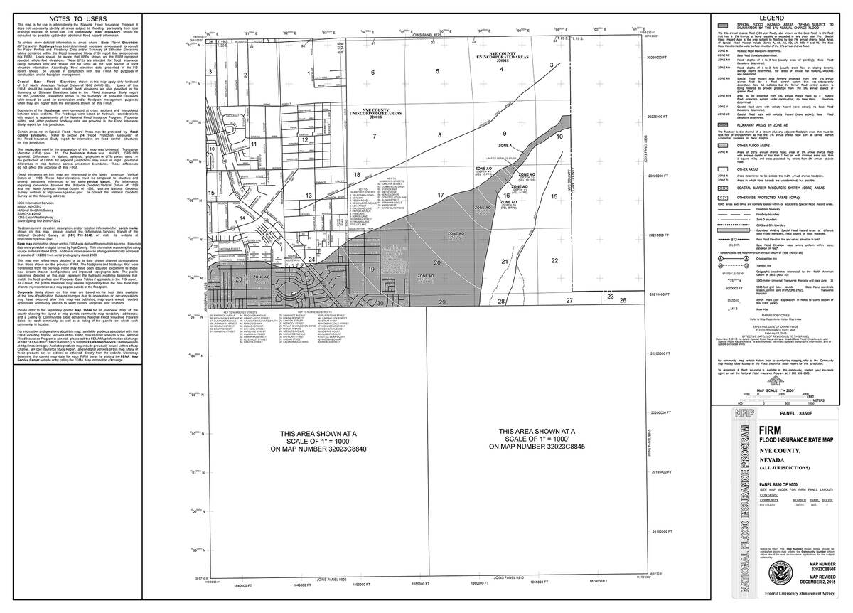
The notice includes explanations about the project related to FEMA Flood Insurance Rate Map, number 32023C8850F:
"The 6.1-acre project area and 15.8-acre staging area are depicted on the FEMA Flood Insurance Rate Map (FIRM), Map Number 32023C8850F, effective as of December 2, 2015. The FIRM shows that all of the project area and the majority of the staging area are within Zone X, an area of minimal flood hazard," reads the notice. "Only 0.1 acres along the western edge of the staging area overlap with Shaded Zone X, which represents a 500-year floodplain, an area with a 0.2 percent probability of flooding every year. Despite the majority of the project area and staging area being in Zone X, the project area and its vicinity have been subject to extreme flash flooding during monsoonal and atmospheric river flood events, which prompted the County to propose a floodwall to protect the government office facilities."
"The U.S. Fish and Wildlife Service National Wetlands Inventory (NWI) map also shows a riverine wetland that passes through the project area. There are no potential wetlands identified on the NWI map in the staging area," the notice reads further.